| Loc:East coast Santa Rosa | Lat: N33-59.1 | Long: W120-00.3 | Last visit: Sept. 09 |
| Tide/Sun/Moon/WX | Dist: 0 | Bechers Bay, Santa Rosa | WX |
| Chart | 18728 | Santa Cruz Channel | NPS Alerts |
| Skipper: Capt. Dan | Boat: S/V Sancerre | Capt. Dan | Port: Chan Islands |
| Landing Permit | Not Required | Local Notice to Mariners |
Santa Rosa is open … mostly
You can use most of the island most of the year. There is no more hunting on the island, but access is still restricted from time to time on certain beaches, notably Skunk Point to East Point and Sandy Point, to protect the snowy plover nesting sites as well as pinniped rookeries (seals, sea lions, elephant seal nurseries). For NPS background information on Santa Rosa Island visits, go to Santa Rosa Info. For restrictions, click NPS Alerts.
Anchorages
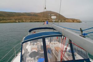
There are few overnight anchorages on Santa Rosa Island, and the Southeast anchorage in Bechers Bay is definitely NOT one of them. If it’s calm, you’re OK, but most of the time this is a lee shore. And if it’s calm when you anchor in the morning, you’re apt to find yourself in a pretty good blow by mid-afternoon.
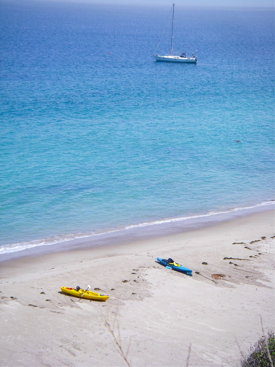
We managed to anchor, kayak ashore, hike the Torrey Pines loop before the wind came up. But the timing was close and within a half hour of returning to the boat, we found ourselves in 20 knots not very far from a lee shore. It’s a rocky bottom but we got a very good set; however, I’d be very circumspect about leaving the boat for very long.
Approach
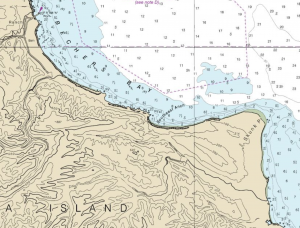
The chart shows this anchorage in a small bight, but the bight is so small you can not veer out sufficient scope to find any protection from the cliffs.
This means that you might as well drop hook anywhere southeast of the pier and call it good. We chose a spot 150 yards off the beach access trail i.e. not in the too-small cove.
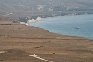
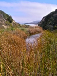
The approach to that is unrestricted. We took the scenic route from Forney’s Cove on Santa Cruz to Skunk Point and simply meandered NW along the coast until we found the access point, which is a stream bed just southeast of the pier.
Going Ashore
This turned out to be a great treat as we had a chance to visit the Torrey Pines grove, which lies a mile or so from the access point on the beach. The scenic trail is steep and a sign warns hikers to stop often. If you’re planning on staying ashore for any length of time, bring water.
There are many colorful plants on the island and we wished we’d had this Guide to Common Plants on Santa Rosa.
Hazards
It’s a lee shore, but other than that, no hazards that aren’t charted or visible.
Links
Santa Rosa Island National Park Service Info
Torrey Pine Wikipedia


