| Loc: mid-south coast Santa Cruz | Lat: N 34-00.25 | Long: W 119-25.5 | Last visit: July 2024 | ||
| Tide/Sun/Moon/WX | Sun/Moon | Port Hueneme | WX | ||
| Navigation | Local Notice to Mariners | NPS Alerts |
Approach
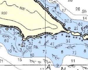
In calm conditions, you can anchor either east or west of Cat Rock. The east side of the rock provides some shelter from typically west winds and swell, but anchoring in closer to the island (near the 4 fathom line, provides much better protection.
The last time we were in there, we anchored in about 30′ of water just near the gap between west and middle island. The wind was in the 20’s, but this spot was protected from the NW howler.
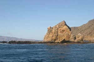
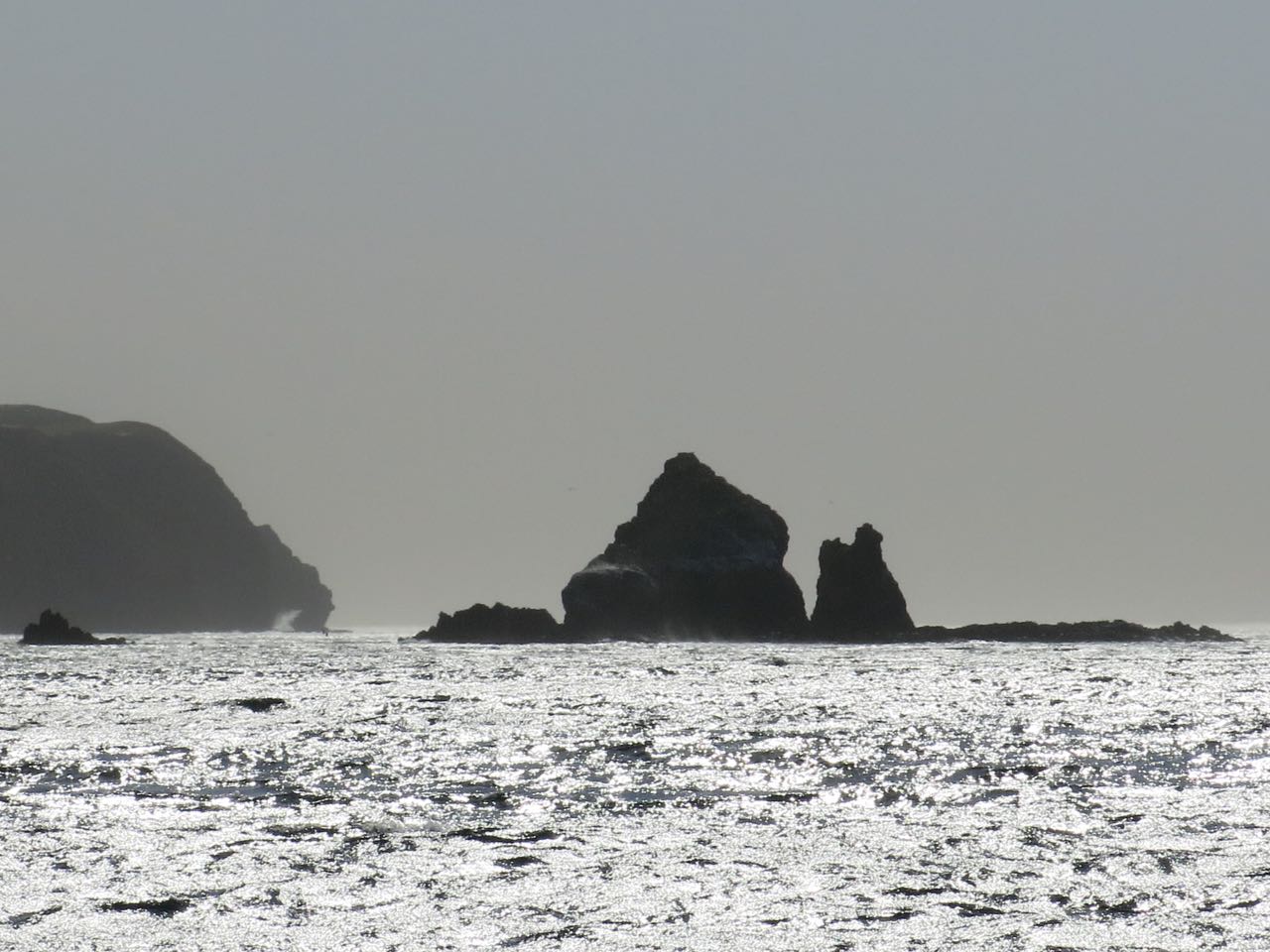
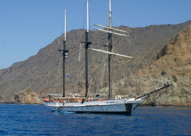
At best, this is a day anchorage. (Picture at left is looking west. Santa Cruz Island is in the background)
Hazards
Rocks near datum
Study the chart carefully as there is a reef between Cat Rock and the shore and innumerable rocks near shore.
Crab and lobster pots. This spot attracts fishermen of all sorts but particularly those looking for invertebrates.
Kelp is often thick here.
A word about Santa Anas at Anacapa: Santa Ana winds can range from mild, not even getting to Anacapa, to hurricane force. On the whole, the winds on the south side of the island usually abate radically east of East Fish Camp. Cat Rock and the area just east of it are usually at the edge of the wind pattern. Cat Rock does not provide any protection in severe winds — see picture at the top. On that day we blew by doing 7+ knots on bare poles, propelled principally by the sail area of our dodger. We ended up hunkering down in Chinese Harbor for a couple of days of gin rummy and red wine.
Sights
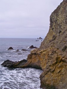
Tide pools just NE of Cat Rock give a great view of the life in the intertidal zone. Whether you access the area from Frenchys or the Cat Rock side, you’ll need a tender or kayak. Or, for those hardier than we are, a wetsuit. Currents can be quite strong and wave action more than you want to attempt in a sit-on-top kayak. Scope it out before you paddle in too close.
Landing Permits
There are some important restrictions for going ashore on Anacapa. Here’s what the National Park Service website requires:
A permit is not required to go ashore and/or hike on East Anacapa Island or at Frenchys Cove. West Anacapa (except Frenchys Cove) is a protected research natural area and is closed to visitors. Visitors are allowed on Middle Anacapa (where East Fish Camp is) by permit only and when accompanied by a park ranger. More information for Channel Islands boaters is at NPS Boating.


Updates
If you have new or amplifying information concerning this anchorage or the surrounding area, please contact Capt. Dan. His e-mail link and phone are top left.