| Loc: Mainland | Lat: N 34-03.3 | Long: W 119-55.20 | Last visit: May 2024 | ||
| Tide/Sun/Moon/WX | Harvest Platform | WX | |||
| Navigation | Local Notice to Mariners |
Overview
Goleta is just a stone’s throw from Santa Barbara Harbor. It’s an open roadstead, though fairly well protected from moderate westerlies. It is untenable with winds out of the east or south. Offshore breezes at night can make for a rocky sleep. But, really, we’d be unlikely to anchor here for the night.
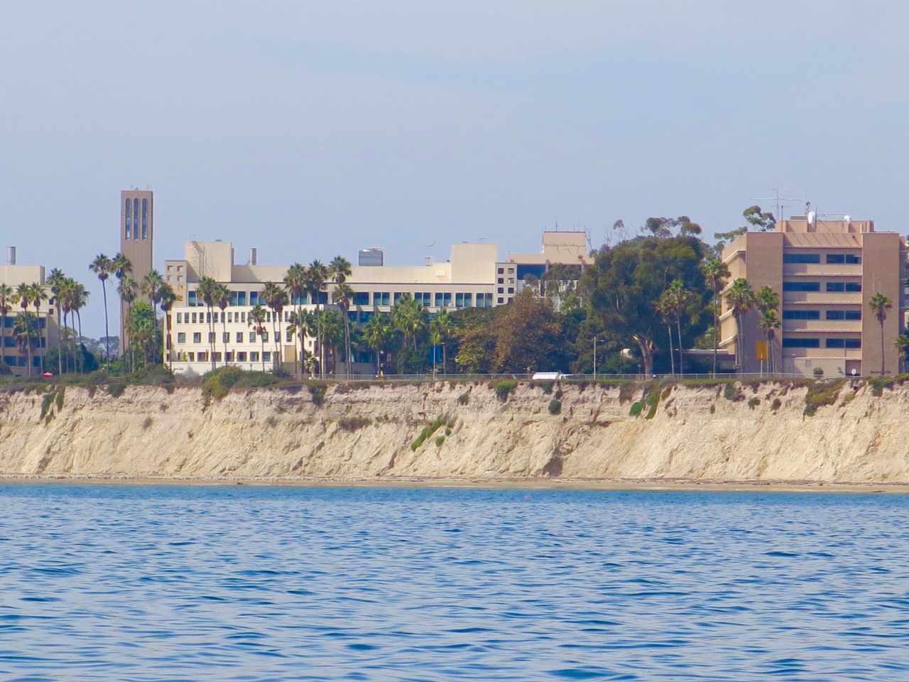
Approach
If you’re approaching from the east, the university campus is the most conspicuous landmark on the western bluffs of the anchorage. Two radio towers lie east of the anchorage, and a thousand foot+ pier marks the eastern edge of the anchorage. Note that there is a sewer line that parallels the pier on the west side about 90 feet west. It is usually covered in kelp.
Anchoring
We anchored in about 25 feet of water, sand bottom about 50 yards west of the pier, well clear of the sewer pipe.
Uncharted Hazards
Weather. Fog. Unpredictable canyon winds. All of that makes this a dubious overnight anchorage, though possible in very settled conditions. Historically, kelp has been an issue but was not much in evidence on our 2018 trip.
Going Ashore
The Gaviota Pier is a noted fishing spot and the county park boasts excellent facilities with a very fine restaurant nearby. Getting ashore is a bit tricky and many report getting wet or even dumped in the surf. Fagan advises bathing attire.
Updates
If you have pictures to share or new or amplifying information concerning this anchorage or the surrounding area, please contact Captain Dan