| Loc:Eastern north coast Santa Cruz | Lat: N34-02.1 | Long: W119-42.15 | Last visit: Nov 2023 |
| Tide/Sun/Moon/WX | Dist: 1.5 | Prisoner’s Harbor, Santa Cruz | WX |
| Chart | 18728 | Santa Cruz Channel | NPS Alerts |
| Skipper: Capt. Dan | Boat: S/V Sancerre | Capt. Dan | Port: Chan Islands |
| Landing Permit | Required | Nature Conservancy | permit app |
| Local Notice to Mariners |
Overview
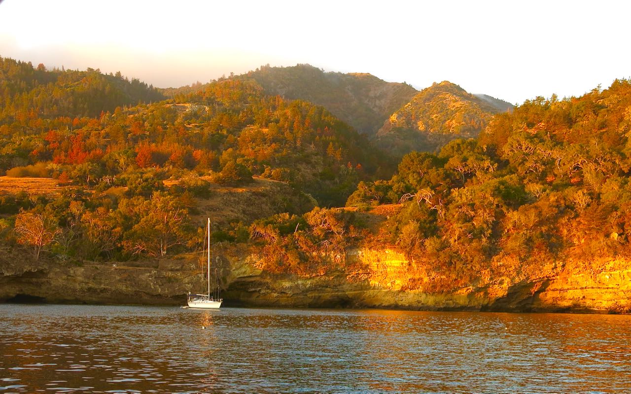
Pelican Bay is one of the most popular anchorages on the north shore. It’s a little too popular “in season” and you should have a backup destination in mind.

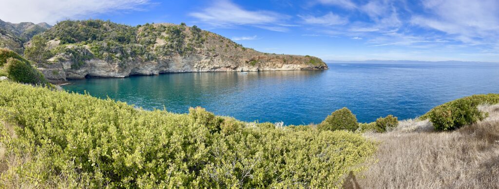
The surrounding high cliffs are spectacular and in spring wild flowers abound. The cliffs provide excellent shelter in west winds to 35 knots or so. If you can, anchor on the upwind side. If you are forced to the lee side, well, that’s a lee shore and the one time we anchored there, we were forced out by increasing winds.
Approach
Even on clear days, I’ve found it challenging to locate Pelican from any distance out, unless I arrive late. During high season, the masts of other boats are easy to spot. Of course, we will use our GPS in a pinch, but you still have to know what you’re looking for if you’re the first boat at the island.
If we’re approaching from the north, we locate Diablo Peak and aim roughly 20 degrees left or find the valley at Prisoners and aim 10 degrees right. There is also a saddleback just above the anchorage. Those landmarks will get us in the ball park. As we get in closer, we look for the western wall of the anchorage. Its bright white and yellow rock formations are easy to see. Once you’ve seen this rock formation, you’ll have it in mind forever.
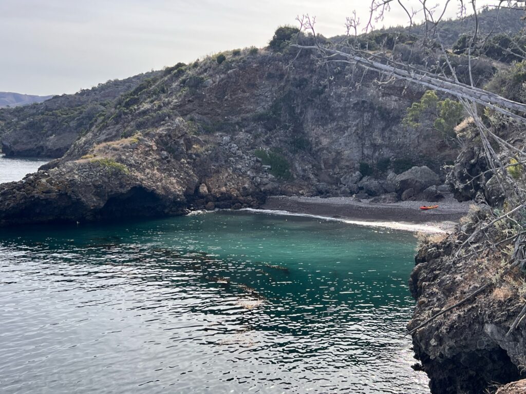
If we’re west of Pelican Bay and close to shore, we’ll usually see the east wall first, which has large century plants at the end. Coming from the east very close to shore, we’ll spot Tinkers Cove, which – BTW – is the best place to go ashore in the vicinity. (Don’t forget, you need a Nature Conservancy permit.)
Anchoring

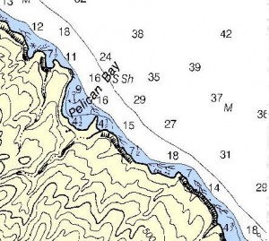
The prime spot, if prevailing winds are prevailing, is about 100 feet abeam the western wall with the bow anchor 150 ft. from the point of land (roughly abeam the juncture of white and dark rock in 30-40 feet of water. Most time, you’ll set a stern hook in 25-35 ft. of water.
It is usually possible to line up two boats on the western wall. The rest of the bay affords good protection, too, but the farther from the western wall, the more likely you’ll have some wind and swell effects. During the high season, you’ll need bow and stern anchors. At other times of year reduced traffic may permit you to drop a single hook near the middle of the anchorage.
Occasionally, you may encounter chop from the east late at night. Not to worry unless the night is very clear and dry and the chop increases substantially. Then you’re talking about an incipient Santa Ana and should make preparations to get underway.
Hazards
There have been infrequent reports of areas where anchors did not hold in Pelican. As should be standard practice, layout sufficient scope and back down hard to set the anchor.
Landing Permits Required
If you intend to go ashore, you’ll need a landing permit
And the best/easiest place to get ashore is Tinkers Cove, which is just outside of Pelican to the east.

A little history, anyone?
A bit more than a century ago, Pelican Harbor was a well known, if rustic, resort that could house, or -rather – tent about 80 folks. It became home base for various itinerant movie companies. Here’s a pic, c. 1910 of Ira Eaton’s camp.
Ira lived on the island for almost three decades. A Sea Captain’s Wife tells much of the family story. It’s a great read, which we keep aboard Sancerre for days without wind.
Updates
If you have new or amplifying information concerning this anchorage or the surrounding area, please contact Capt. Dan. His e-mail link and phone are top left.


