| Loc: mid-south coast Santa Cruz | Lat: N 34-03.2 | Long: W 119-45.3 | Last visit: Jan 2025 | ||
| Tide/Sun/Moon/WX | Sun/Moon | Prisoner’s Harbor, Santa Cruz | WX | ||
| Navigation | Local Notice to Mariners | NPS Alerts |
Great protection
The heart of the anchorage is tucked under the lee of Diablo Point and is sheltered by a substantial chunk of mountain. We’ve been in Frys when the gusts have pushed past 30 and felt quite secure. On the other hand, when the winds clocked into the mid-40s at dawn and the wind and swell began wrapping around Diablo Point, we bailed. We might have been able to stay put, and we could have found better protection if we were closer to shore, but it didn’t seem prudent to try to reposition.
We initially headed for the security of Yellowbanks but reconsidered as the forecasts became increasingly ominous and the seas mounded to 15 feet. We simply headed home, and a rollicking ride that was.
That was the first time in 20 years that Frys let us down.
If you manage to be the first in the anchorage, you can go deep into the canyon. We’ve seen smaller boats nestled into the SW corner with their stern hook well up on the beach. A permit is required to go ashore for that maneuver, but you can achieve a similar result putting stern anchor down just off the beach in less than 10 ft. of water. That’s definitely a dinghy maneuver. Be aware that canyon winds can arrive suddenly and forcefully, so a good set and sufficient rode are required bow and stern.
Approach
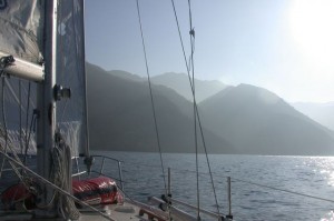
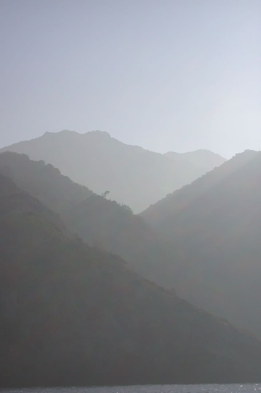
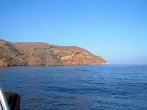
The approach is straight forward as the anchorage lies below Diablo Peak, the highest point on the western part of the island. Making the approach from the east into the summer afternoon sun can make the initial run a bit uncomfortable, but you can aim a bit inside of Diablo point. The anchorage will open up to your left with its sand beach in the NW corner and the remains of a quarry loading area on the east side.
No tricky hazards appear on the chart, though if it is crowded, finding a spot that your anchorage mates agree is far enough away can require considerable diplomacy. From time to time, kelp takes up a lot of real estate.
Anchoring
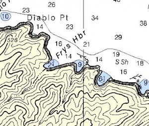
We enter the anchorage from the ENE, keeping a safe distance from the rocks. We make our exploratory turn to the right (into the wind), checking the area for hazards and monitoring our depth. Once satisfied with our plan, we ready the ground tackle, brief the crew and head back into the anchorage.
Our Jeanneau has 400 ft. of chain forward and 350 ft. chain-rope astern. We typically pick a spot 40 yards from the western wall in 35 ft. of water and drop the upwind anchor. We roll out 350 feet of rode before dropping the shoreside anchor then adjust our position to get about 200 ft. of rode on the seaside and 150 ft. on the land side. In light winds, we’ll often anchor with our bow toward the shore. That gives us a little better grip if the canyon winds pipe up overnight, which they frequently do.
This anchorage can get crowded. I’d say three yachts of 40 ft. is the max.
Hazards
No hazards are charted near datum. Obviously, this is not safe haven in Santa Ana conditions.
Landing Permits Required
If you intend to go ashore, you’ll need a permit from the Nature Conservancy.
Updates
If you have new or amplifying information concerning this anchorage or the surrounding area, please e-mail Capt. Dan.
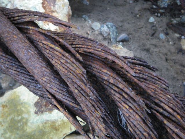
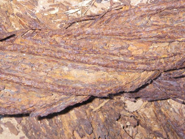
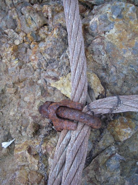
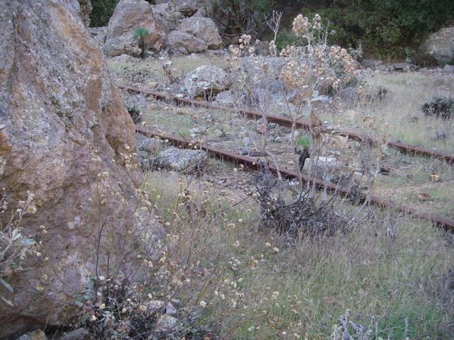
Ashore at Frys
Frys is the site of the quarry that supplied much of the stone for the Santa Barbara harbor. If you like rust, you’ll like this gallery.