| Loc: Mainland as far west as you can go | Lat: N 34-27.01 | Long: W 120-57.59 | Last visit: Sept 2018 | ||
| Tide/Sun/Moon/WX | Sun/Moon | Harvest Platform | WX | ||
| Navigation | Local Notice to Mariners | NPS Alerts |
Overview
The anchorage is protected from north and northwest winds; however, it can still howl mightily in here. Fagan says Cojo is good up to 29 knots. Alternatives are East to Sacate, Refugio, Gaviota or South to Cuylers on San Miguel Island.
The Chumash people know Point Conception as the “Western Gate.” They believe that their souls transit here to heavenly paradise, Similaqsa.
Approach
Sailing west you’ll see the numerous white faced cliffs along Hollister Ranch and probably encounter a sea otter or 10 not to mention numerous surfers, particularly in a south swell.
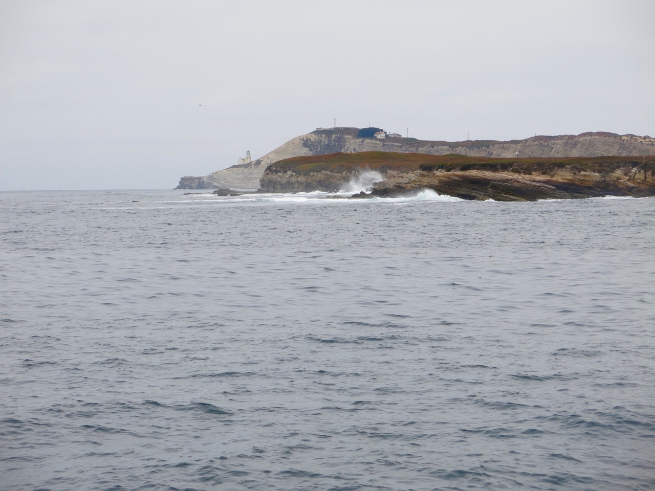
Point Conception is on an enormous headland. The light sits on a mesa slightly west and below the peak. At a distance the headland may appear as an island.
Cojo anchorage is just east of Government Point. Keep clear of the point as you approach from the north. We stay more than a mile offshore until we’re clear of the reef. From there, it’s a straight shot into Cojo.
Anchoring
We anchored in about 25 feet of water, sand bottom. There are areas with substantial kelp beds on the approach, but on this adventure there were none in our way.
Uncharted Hazards
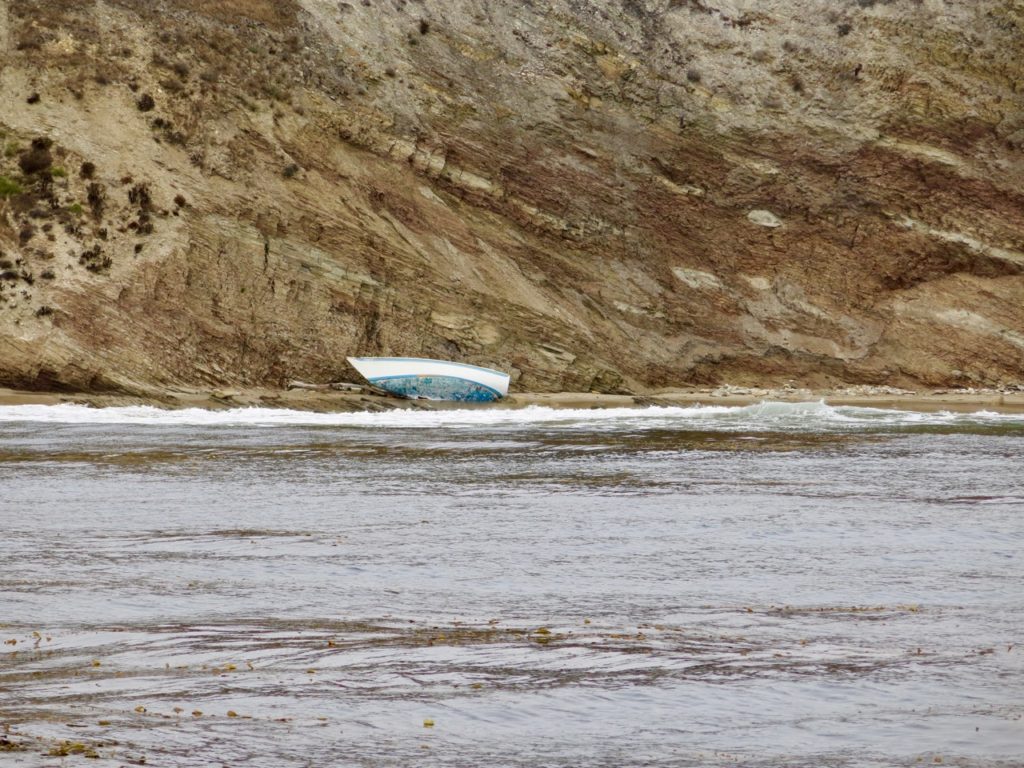
Fog can envelop the area and can form rapidly over the land or water. It’s a good idea to keep careful track of your position and to have a contingency plan in the event your GPS goes sour.
If you’re approaching at night there are numerous unlighted buoys in the vicinity.
Updates
If you have pictures to share or new or amplifying information concerning this anchorage or the surrounding area, please contact Captain Dan