| Loc: Malibu | Lat: N34-00.8 | Long: W118-47.2 | Last visit: July 2020 |
| Tide/Sun/Moon/WX | Dist: 14 | Santa Monica | WX |
| Chart | 18744 | Santa Monica | Google Earth |
| Skipper: Capt. Dan | Boat: S/V Sancerre | Capt. Dan | Port: Channel Islands |
Overview:
Paradise Cove. In our opinion, “Paradise” overstates the case. As you may have read here, we like all of the anchorages at the Channel Islands. Actually, we would have a very hard time telling you which is our favorite; they’re all that good, But we’re not that crazy about Paradise Cove. Traffic noise, lights at night make the setting a little too urban for us. Plus there can be an ugly confused swell in here. If your jumping off point is Ventura, Oxnard or Santa Barbara, this is just too far to travel for a mediocre experience. On the other hand, it’s not bad if your homeport is Marina del Rey.
Navigation
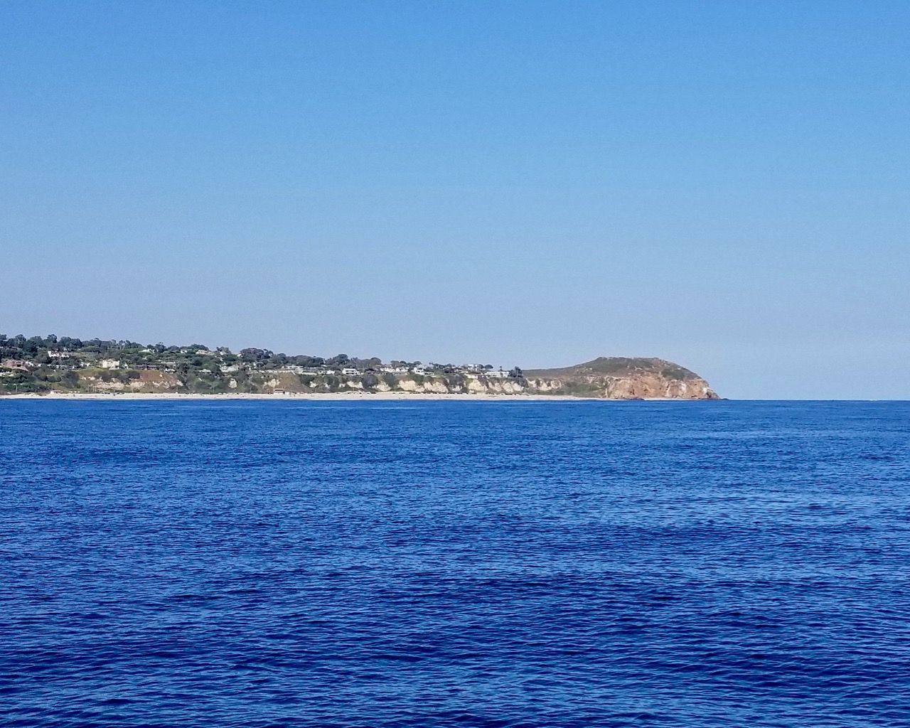
Coming from the west you’ll see some fabulous real estate. If you’ve driven “The 1” east from Pt. Mugu, you’ll find that you haven’t ever really seen Malibu. Those secretive billionaires have cleverly hidden their mansions (and a couple of fabulous condo complexes) below the bluffs.
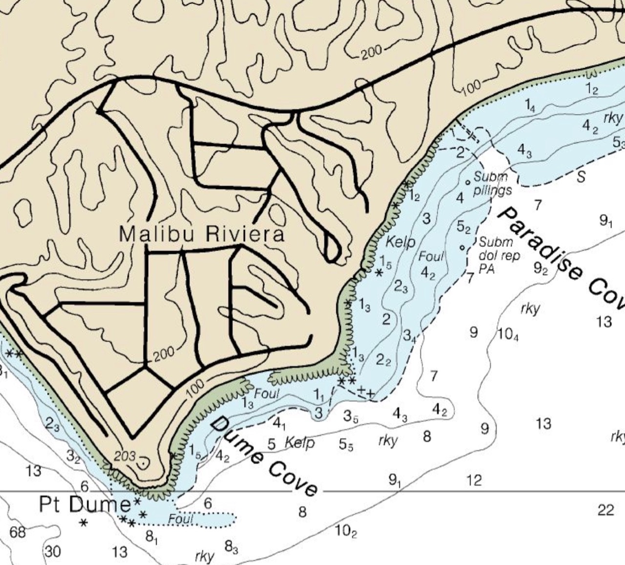
Coming from either direction, head for Pt. Dume, actually head for a spot about a half mile south of the point to avoid the reef. Rounding the point head NE, remaining clear of the reef at the north end of Dume Cove.
Eastward bound hazards: We usually transit about 1.5 miles offshore inside the coastwise traffic lanes, but beware of traffic entering and, particularly, departing Port Hueneme. The ships do not announce arrival or departure; it’s up to the seamen to keep a sharp lookout and avoid them.
Outbound traffic accelerates passing the “PH” fairwater buoy, so it’s always prudent to pass astern. There is also a small arms range on the east end of Pt. Mugu Naval Air Station and very occasional missle launches. Check local notice to mariners for hours of operation and keep an ear on #16 on your VHF. If you’re there at the wrong time and not paying attention, a picket boat or helicopter will hail you and direct you clear of the area.
Approach & Anchoring
There are submerged obstructions noted on the chart. If you stay outside of the 10 fathom curve, you’ll be seaward of those hazards.

Locals and the “Coast Pilot” warn of thick kelp, which they say you can get inside; however, there was no kelp interference here in July 2020.
Fagan recommends getting oriented into the swell and dropping two hooks to remain in that position. We experienced extremely confused (though small) seas and spent a fairly comfortable night on one hook with about 200′ of rode veered out. If there had been a dominant swell direction, we’d have taken the two hook advice.
Hazards
Submerged hazards are marked on the chart, beyond that, locals report substantial traffic in the summer. Kelp, at least in summer of 2020, was not an issue.
Updates
If you have new or amplifying information concerning this anchorage or the surrounding area, please e-mail Capt. Dan.