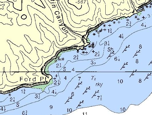
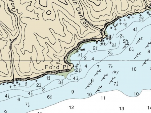
| Loc: mid-south coast Santa Cruz | Lat: N 33-55.08 | Long: W 120-02.75 | Last visit: July 2020 | ||
| Tide/Sun/Moon/WX | Sun/Moon | Bechers Bay, Santa Rosa | WX | ||
| Navigation | Local Notice to Mariners | NPS Alerts |
Why Ford Point?
The smart-ass answer is – because it’s there. It’s got a name. Other people have tried it. So we felt compelled to spend a night there.
And we won’t do that again. There just isn’t enough room or deep enough water to be comfortable. And why bother with Johnsons Lee a smidge over four miles away?
How we did it
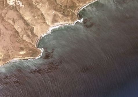
You can’t ask for a more straight forward approach and anchoring. On the other hand, it is a little difficult to pick out Ford Point from very far off shore. San Augustin Canyon is the most obvious landmark in the vicinity.
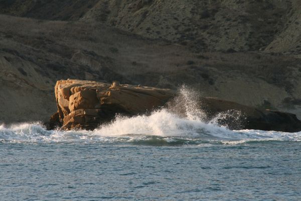
We entered from the east and headed for the mid-point of the little cove, dropping our hook in about 15′ of water between the prominent rock on the shore and the point.
Hazards
Nothing that’s not on the chart.
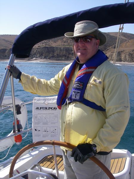
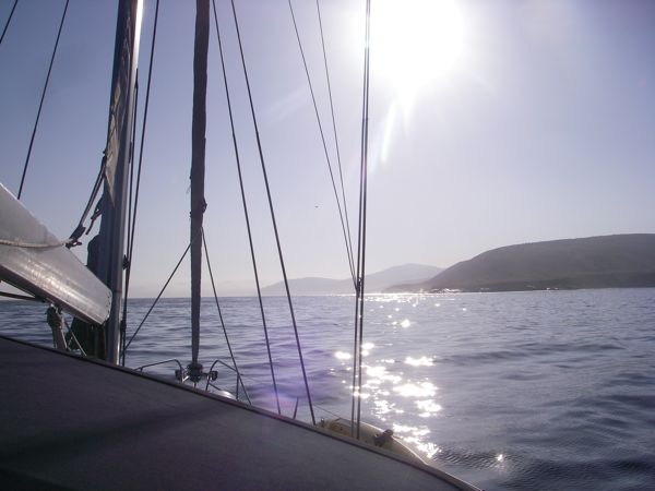
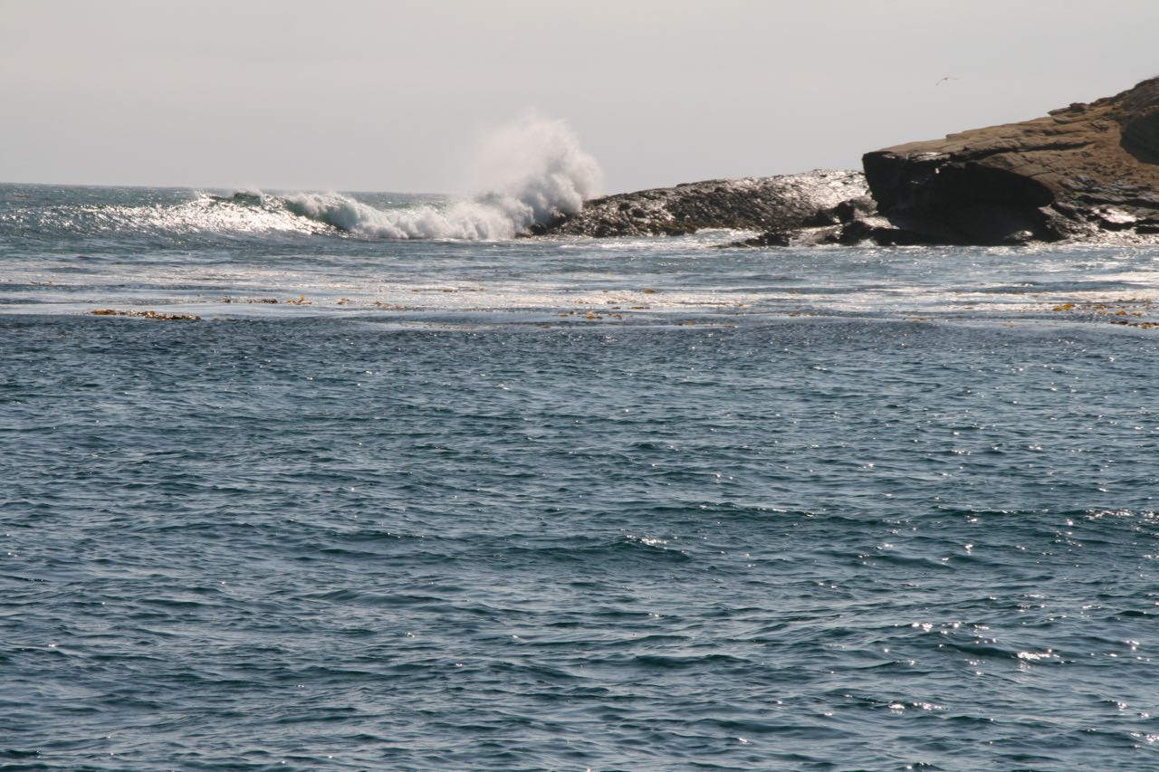
Photos