| Loc: mid-south coast Santa Cruz | Lat: N 33-58.01 | Long: W 119-42.45 | Last visit: Dec 2023 | ||
| Tide/Sun/Moon/WX | Sun/Moon | Prisoner’s Harbor, Santa Cruz | WX | ||
| Navigation | Local Notice to Mariners | NPS Alerts | |||
| Landing Permit | Required | Nature Conservancy | permit app | ||
| Overview |
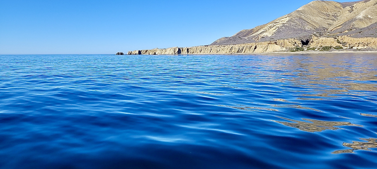
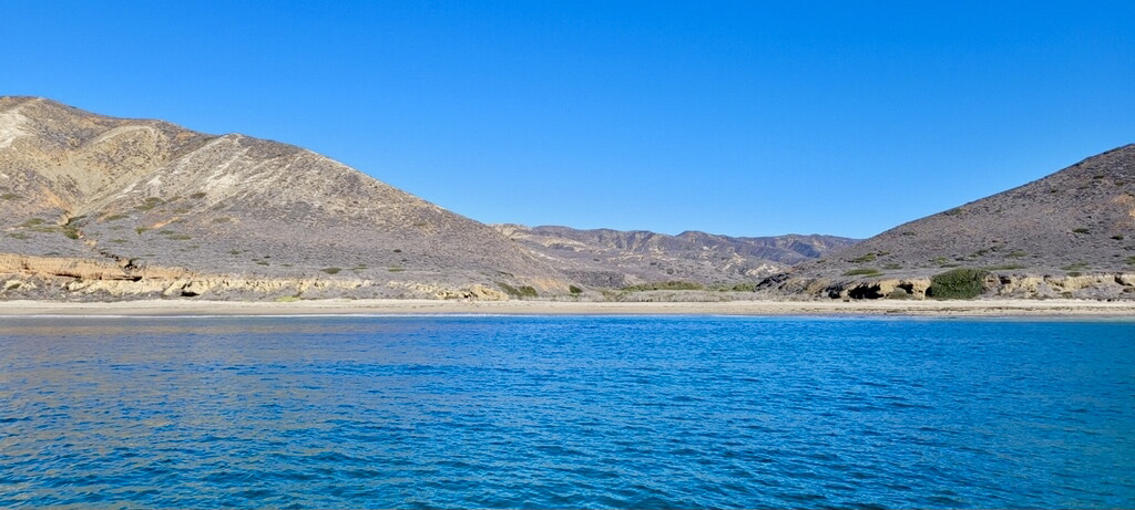
Pozo, sometimes spelled Poso and inevitably pronounced Bozo by your crew, is an excellent place to go ashore for a hike.
But it is not a place to stay overnight as any increase in west winds will sweep around the point followed by a vicious, breaking swell.
Approach & Anchoring
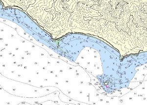
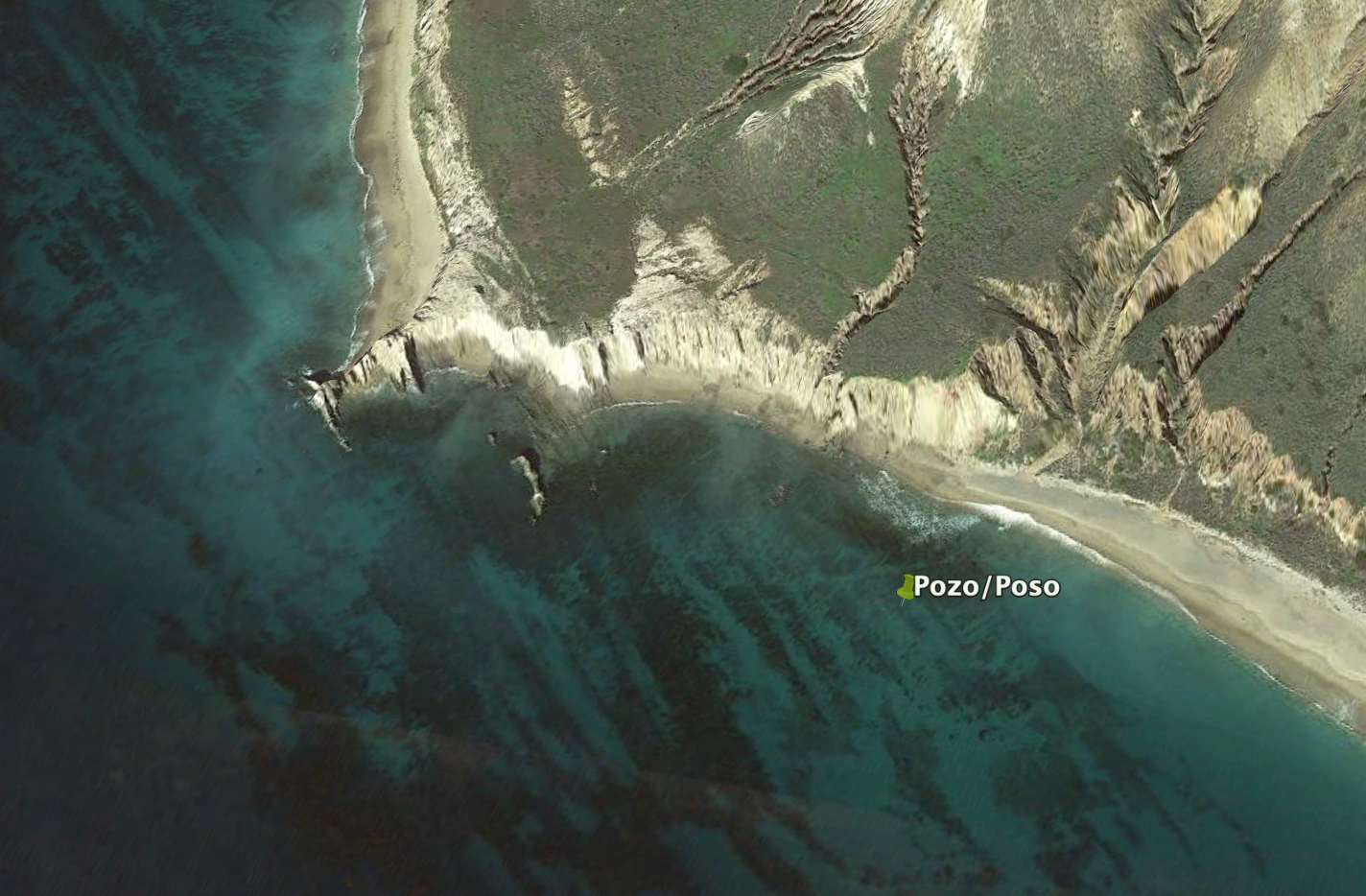
Pozo/Poso is in the lee of Near Point. Precisely what it is near, I don’t know. And the point is unnamed in the NOAA database, but the anchorage is easily located by finding Morse Point, which is a bit over a mile to the southeast and then locating the two seven-hundred-foot mountains that flank the canyon.
We were interested in hiking Cañada Poso and looking for geological signs of the ancient seabed. So we anchored directly off the mouth of said canyon in 25′ on a sand bottom, several hundred yards from the rocky point.
Pozo is Spanish but Poso is the Portugese pronunciation and means, according to Wikipedia, a well. In this case, more specifically, a deep pool in the course of a river.
Going Ashore
There was a small swell gently breaking on the shore when we launched two kayaks and two paddle boards.
Three of the four made it without incident, but one kayak rolled and left the occupants laughing in the (relatively) warm November surf.
Note to self: take your stuff ashore in a dry bag and pack a sense of humor.
Landing Permits Required
If you intend to go ashore, you’ll need a landing permit from the Nature Conservancy. The link in the grid takes you to their online payment system.
Updates
If you have new or amplifying information concerning this anchorage or the surrounding area, please contact Capt. Dan. His e-mail link is at top left.