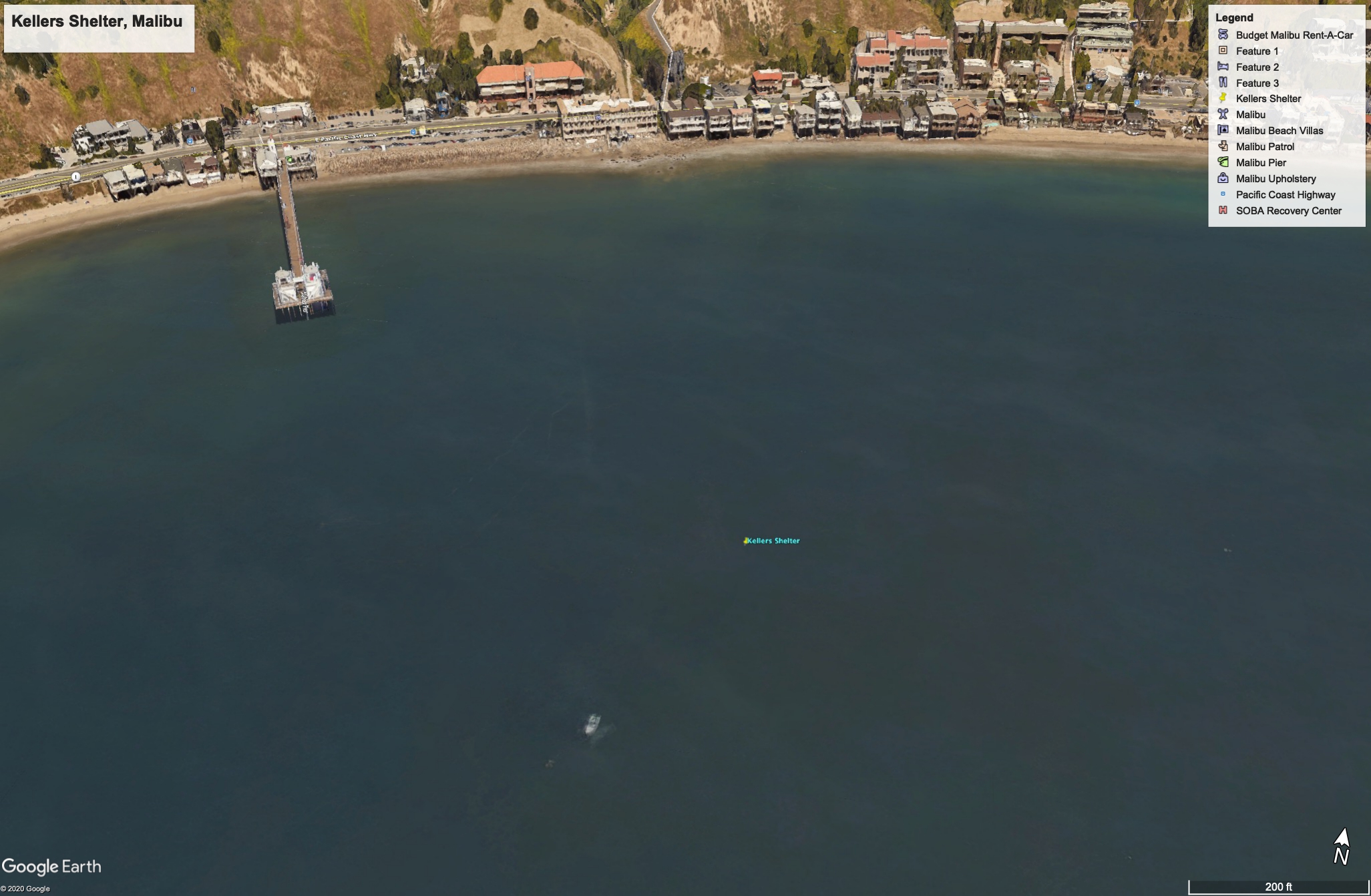
| Loc: Malibu | Lat: N34-02.12N | Long: W118-40.36 | Last visit: Jan 2020 |
| Tide/Sun/Moon/WX | Dist: 0 | Santa Monica | WX |
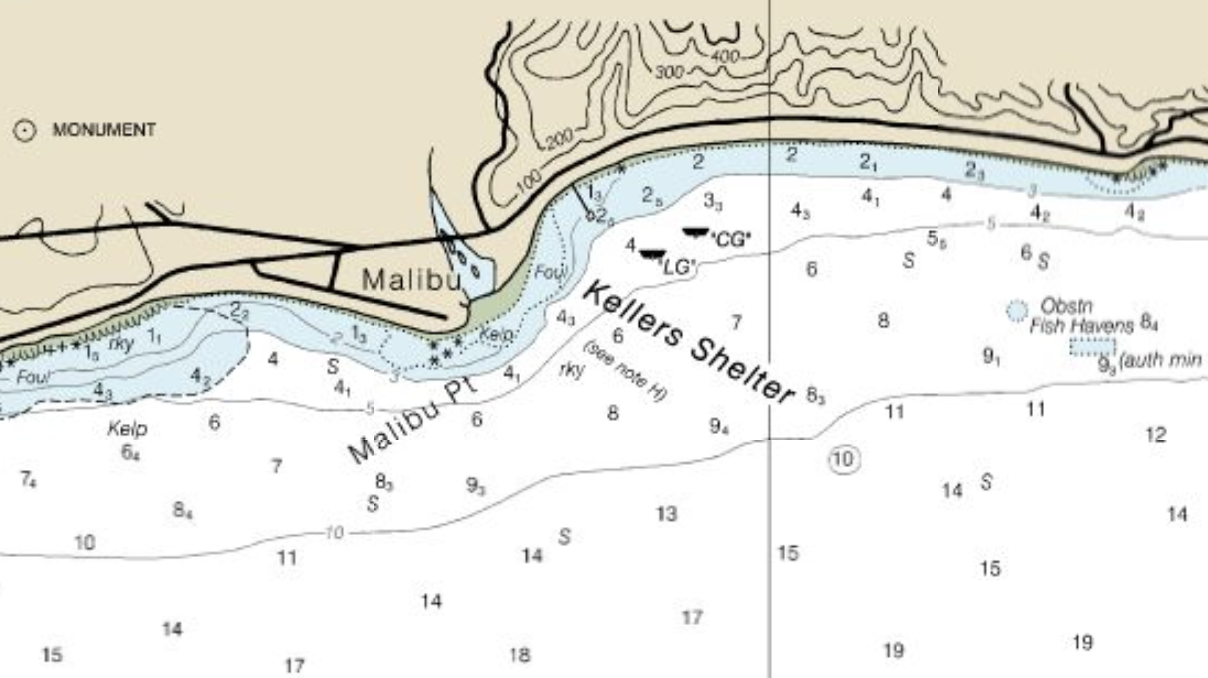
| Chart | 18744 | Santa Monica | |
| Skipper: Capt. Dan | Boat: S/V Sancerre | Capt. Dan | Port: Channel Islands |
Overview:
Not much shelter here at Kellers, but a nice place for lunch and maybe a nap. Locals report a great deal of inshore traffic in summer, comparing it to Florida mass anchorings and Hillbilly Raftups in the Midwest. Locals are not happy with the situation and not happy that many outsiders know this place as the “Bu.”
Perhaps the biggest draw in the neighborhood is (literally) world-famous Surfrider Beach. It’s just west of the pier and extends west to Malibu Lagoon.
Navigation
Sailing east parallel to the beach and maintaining at least 50 feet of water kept us clear of obstructions and clear of kelp while giving us great views of the real estate, which is fabulous but crowded.
The Riviera, despite local comparisons, it is not. On the other hand, it’s not nearly as polluted as the Mediterranean though just as expensive. And the bread is not nearly as good.
Approach & Anchoring
Maintain at least 50 feet until you identify Malibu Pier, then figure out if you want to be inside of the buoys or outside. As no one was at the anchorage in the middle of winter, we elected to go inside in about 25′ of water. (Yes, SoCal has a winter. In mid-January is was cloudy and a chilly 70º.)
Hazards
None that are not apparent on the chart
Updates
If you have new or amplifying information concerning this anchorage or the surrounding area, please e-mail Capt. Dan.