| Loc: South coast Santa Cruz | Lat: N 33-58.5 | Long: W 119-40.3 | Last visit: May 2024 | ||
| Tide/Sun/Moon/WX | Dist: 3 | Prisoners, Santa Cruz | WX | ||
| Chart | 18729 | Anacapa Passage | NPS Alerts | ||
| Skipper: Capt. Dan | Boat: Sancerre | Capt. Dan | Port: Channel Islands | ||
| Landing Permit | permit app | Local Notice to Mariners |
Valley – Blue Banks


Valley – Blue Banks anchorages are frequently visited by dive boats and fishermen. To be perfectly candid, I can’t think of a reason to drop the hook here if you’re not diving or fishing. It’s an OK day, fair-weather anchorage, but even on the flat day when we visited, it was still stirred up. It might be OK for lunch, but no place we’d stay overnight.
Finding the anchorages

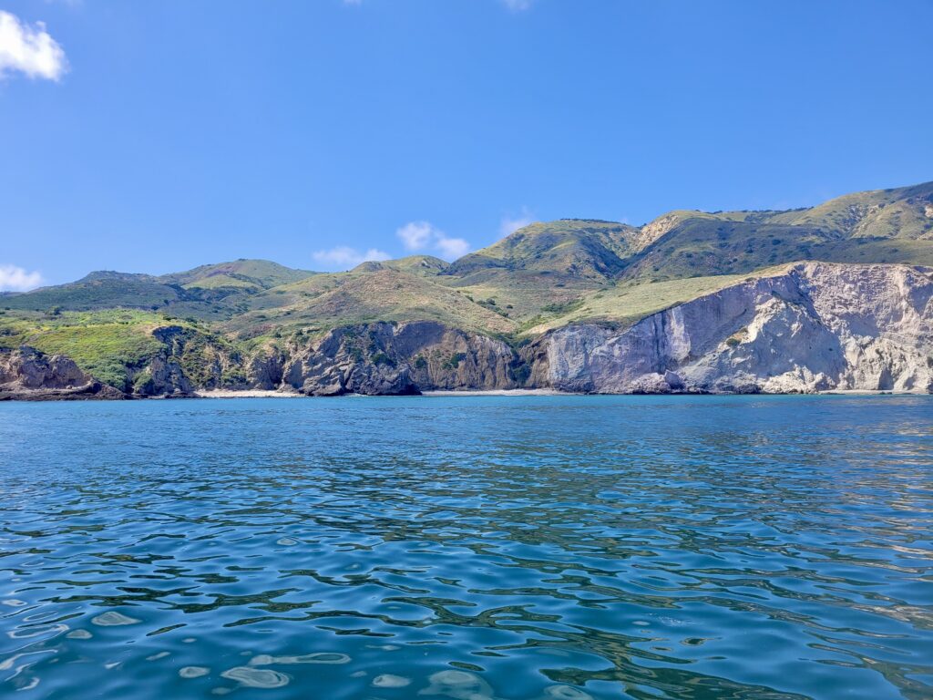
The anchorages are about a mile and a half east of Alberts. The most obvious landmark (top picture) are the sheer white cliff and the cleft in the island – the central fault – that lies just behind valley anchorage. It’s visible in the top picture, but even more obvious in person.
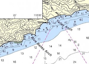
On Chart 18729, the valley is nothing more than a short horizontal line. It really is more prominent than the chart leads you to expect.
Blue Banks lies about .5nm west of the point where the fault spills onto the beach. An extremely steep cliff marks the right side of the anchorage. And the cliffs near Blue Banks actually appeared blue.
Anchoring
Frankly, we’re not likely to stop here, at least not for a greater time than it takes to have lunch. If we do anchor, we plan to stay well off the beach in at least 35 feet to remain clear of rocks in the area.
