| Loc: mid-south coast Santa Cruz | Lat: N 34-02.7 | Long: W 119-43.4 | Last visit: June 2017 | ||
| Tide/Sun/Moon/WX | Sun/Moon | Prisoner’s Harbor, Santa Cruz | WX | ||
| Navigation | Local Notice to Mariners | NPS Alerts |
Overview
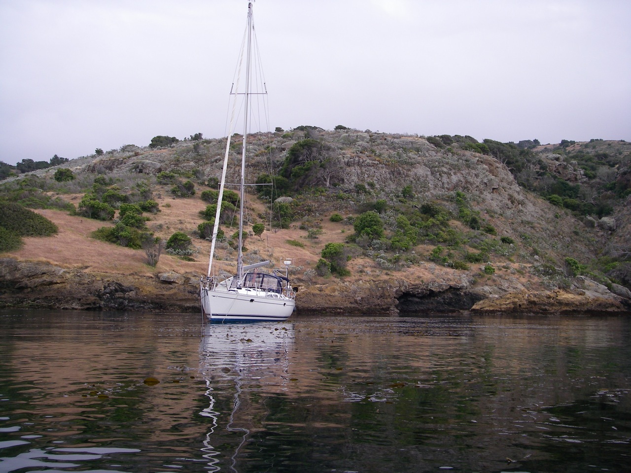
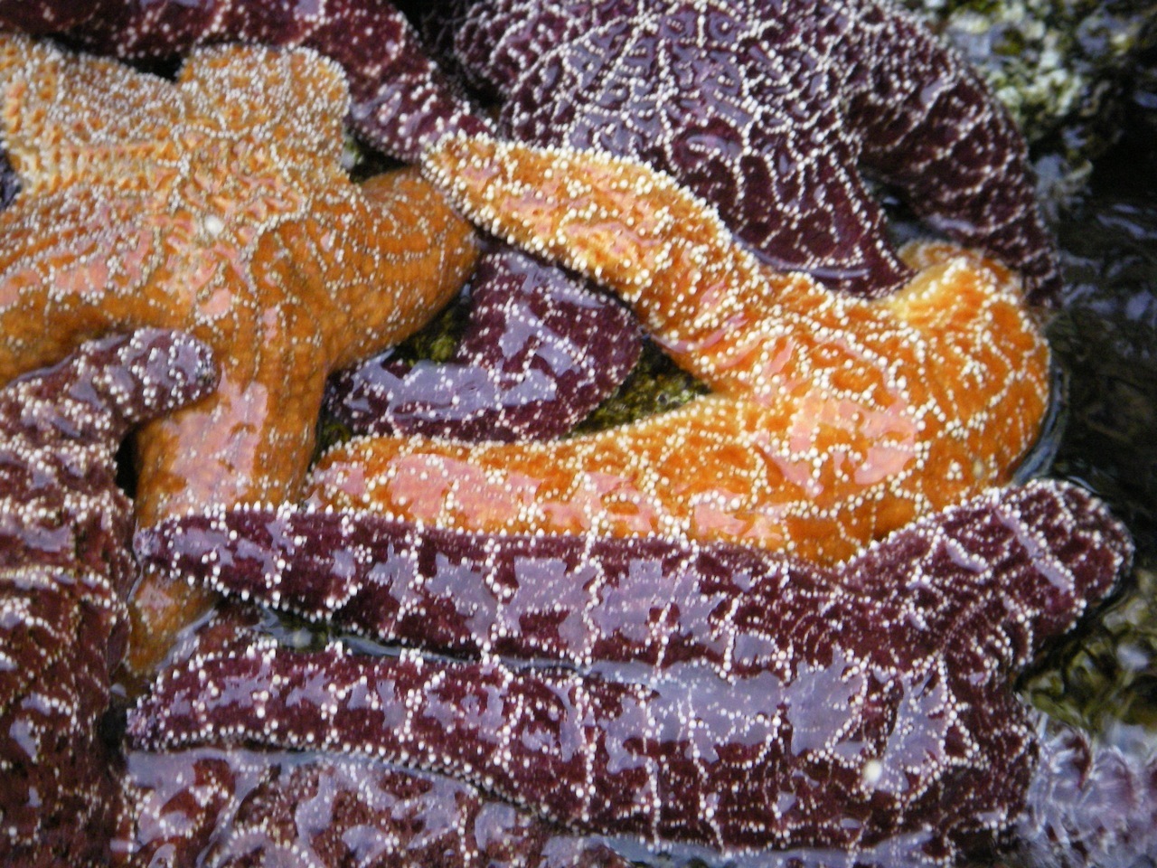
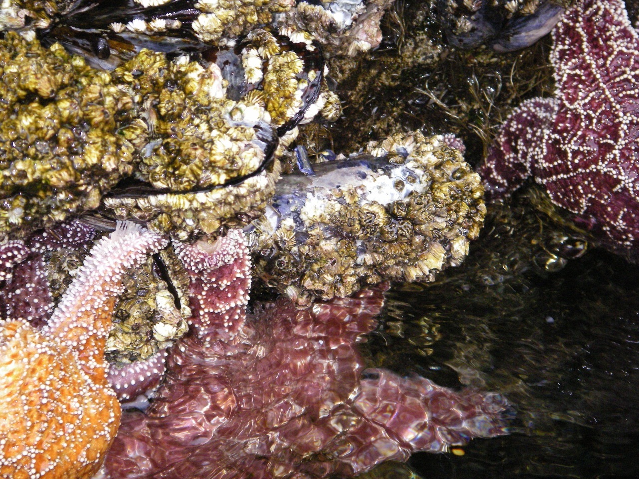
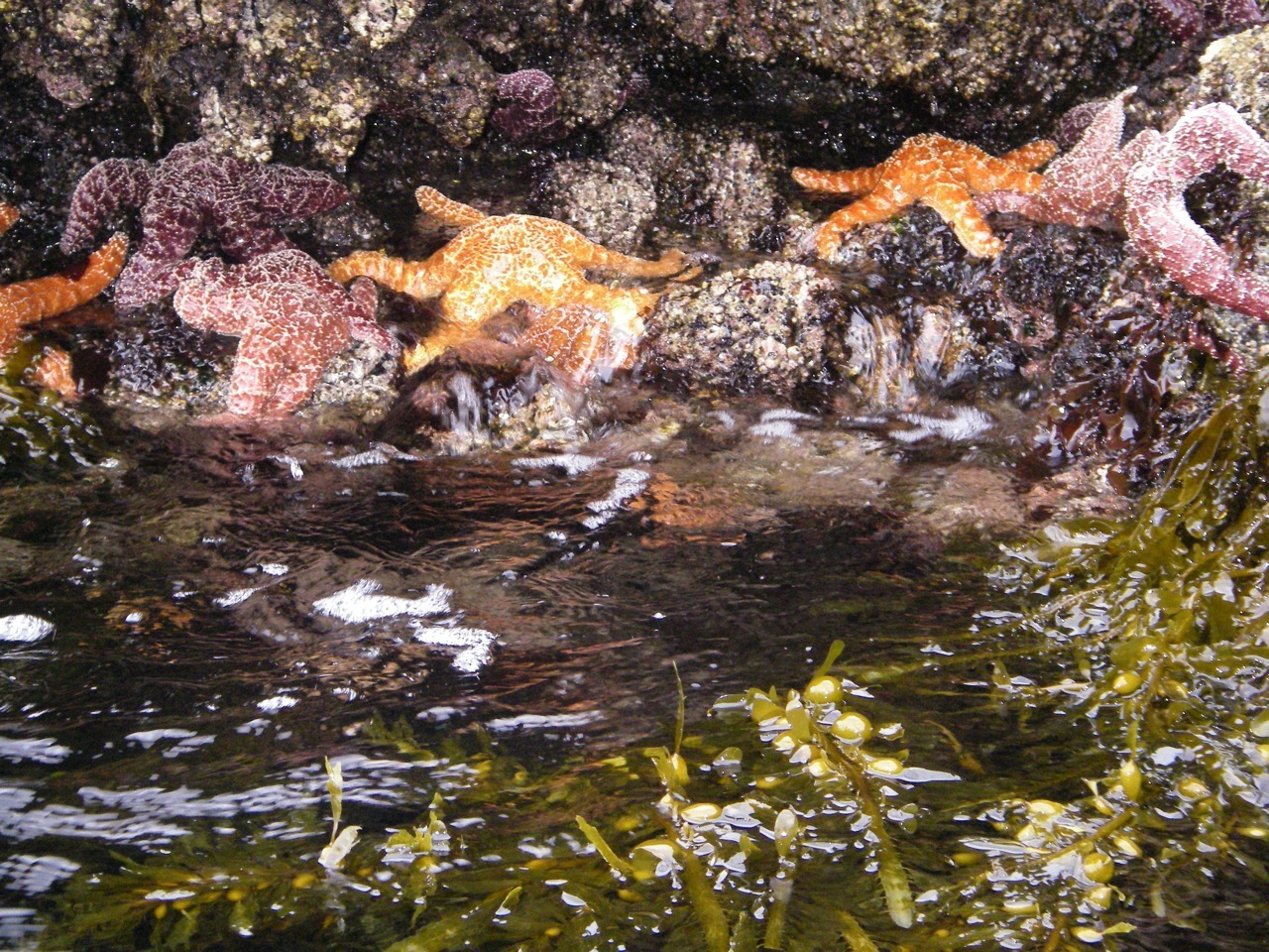
Orizaba Cove does not offer much protection, but on a settled day like the one we last picked, it’s a great spot to settle in and check the “intertidal zone” (tide pools). We arrived just after the new moon, so were in store for excellent paddling and sightseeing.
Approach
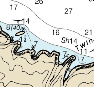
From the east, spot the arch at Twin Harbors, then find 40 ft. high Mussel Rock about a half mile NW. This islet marks the entrance to the cove.
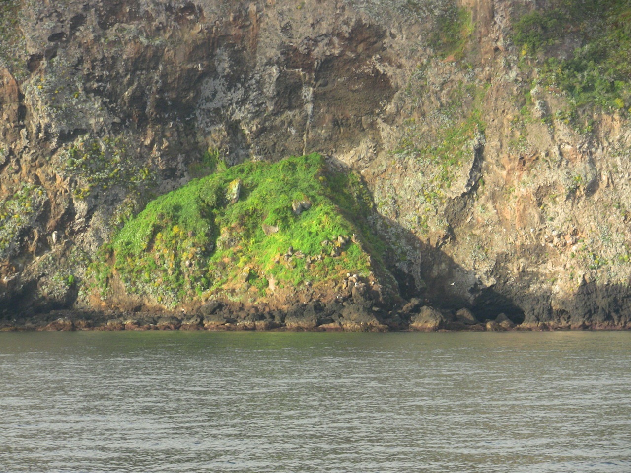
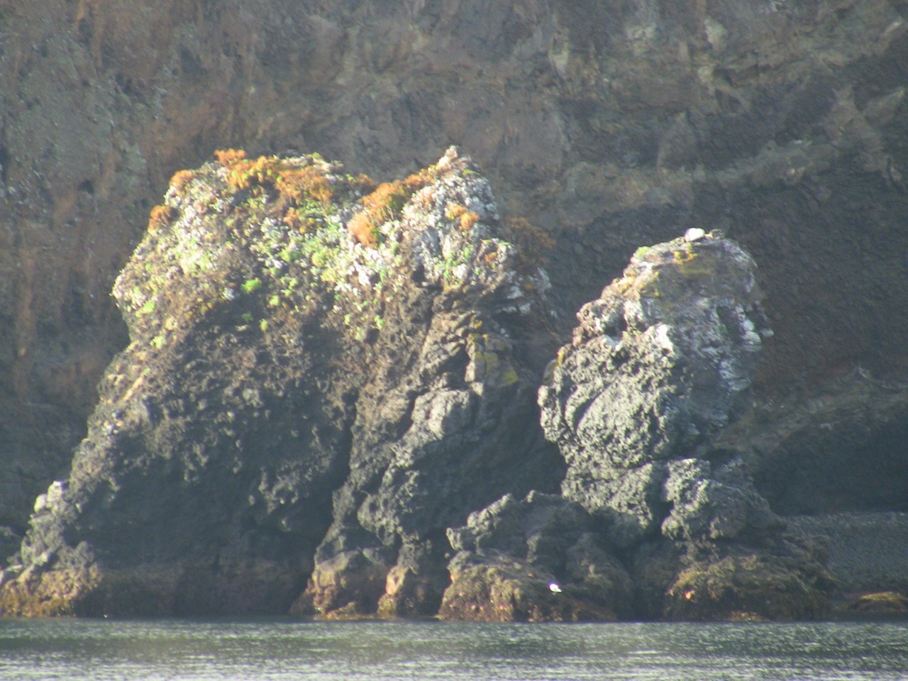
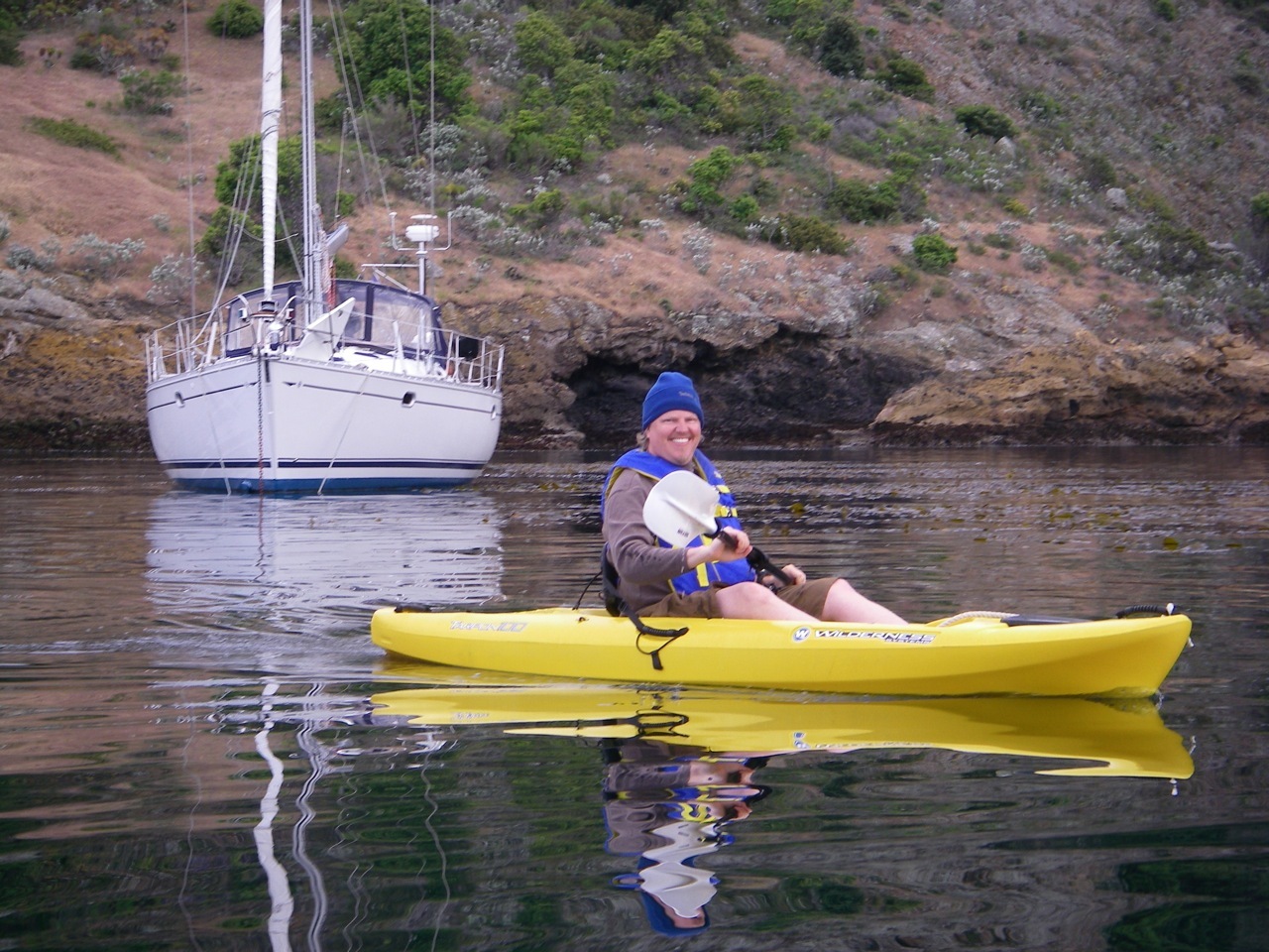
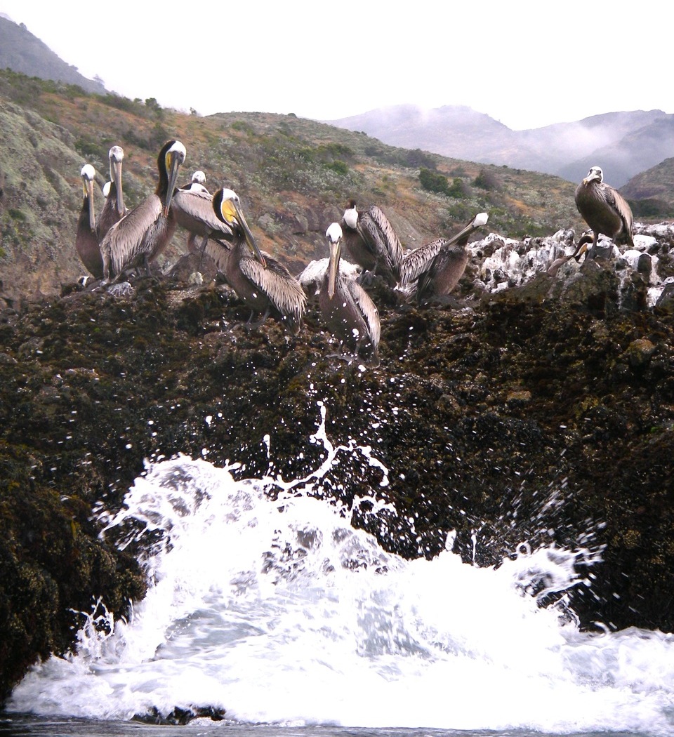
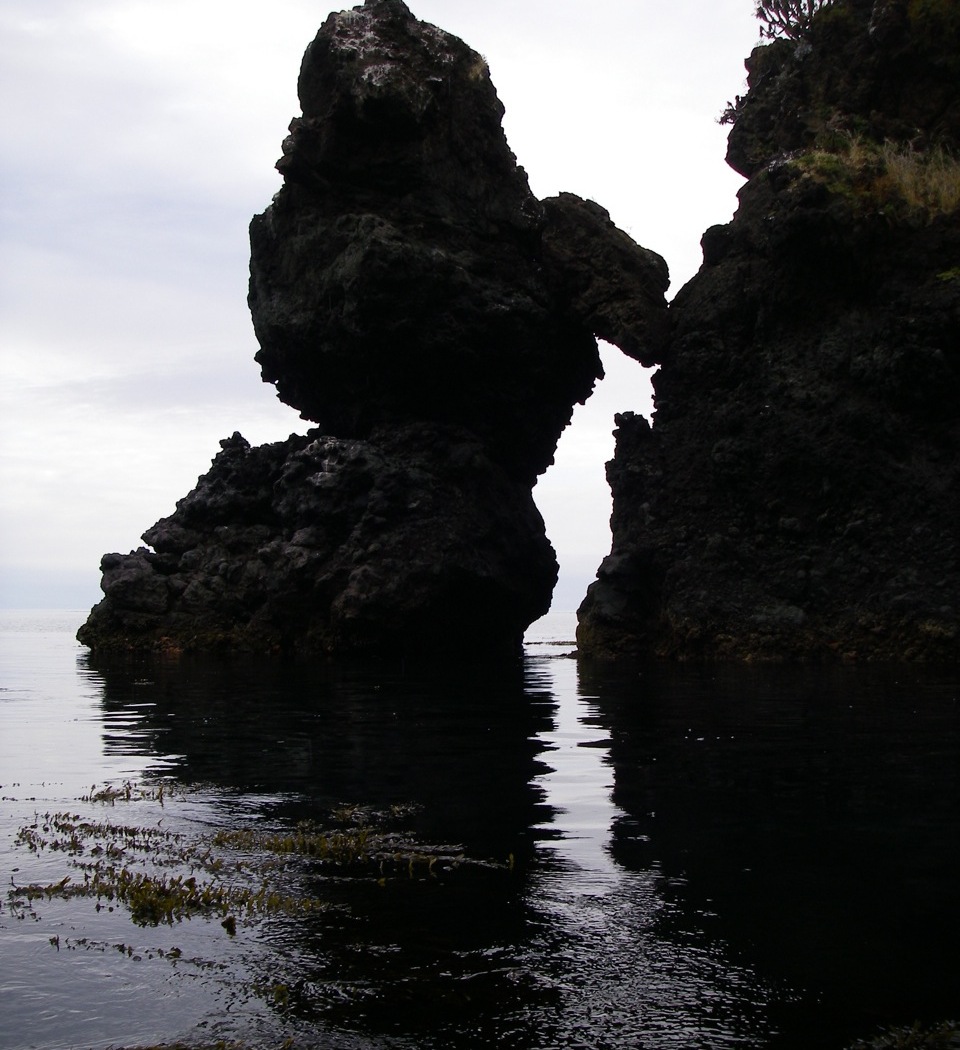
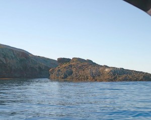
If you’re coming from the west and hugging the shore, you’ll spot an exceptionally green cliffside, where the foliage is brightened by a spring. There’s also a craggy bit of rock (see slideshow) set off a bit and a very low island, which is normally populated by seals. This is Platts Anchorage. Go around the island headed east and you’ll immediately spot the higher island that marks Oriziba. The area between Platts and Oriziba is great for kayaking. See the slideshow at the bottom.
Anchoring
There are two inlets. From a distance, it looks like the western most one is most inviting, but you can’t get there in a decent size sailboat. In fact, don’t even try to get in the western cove. We’ve previously encountered considerable kelp in Orizaba, but on our most recent visit it was almost clear. But there was a rub: eel grass, and, for the first time ever, our stern Fortress anchor did not stay set. We had a good set with almost 7:1 rode, but either the rising tide or the gentle breeze, broke it loose. We were in a spot where we didn’t really need to prevent swinging, but were unnerved by the anchor alarm. When we got underway next morning, we pulled up half an acre of weeds on both bow and stern. The French plow on the bow apparently penetrated the weed layer and had remained set.
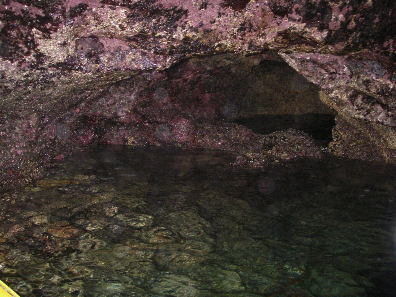
Here’s how we handle this anchorage when the cove is a kelp farm. This is from May 2010: We reconnoitered the eastern cove and found a good bit of kelp along the western cliff. You’ll spot a cave in the back of the cove. It was a calm day and we backed in, dropping our stern hook in 25 ft. just in front of the cave (see pic top left). The kelp tells us that there is a rocky bottom, but we didn’t have any trouble setting or retrieving the hook. Take a close look at the Google Map. There’s a link near the bottom of the page. You’ll see a shelf of rock just off the western wall. Some charts show this as a drying area. Frankly, we (I) anchored too close to that. More than a couple of knots out of the east and we’d have been bumping the rocks. My advice is to shoot for the center of the cove. Next time I go there, I’ll drop the stern hook in front of the cave and then set my bow 20 degrees right of the island and drop my bow anchor in 35 ft. That would have made my night a bit more restful.
Going Ashore
You need a Nature Conservancy permit, which we have, but kayaking used up all of our free time and we were not tempted to go hiking.
Hazards
Beware the drying area on the west side of the cove. It’s not clearly marked on the plastic chart, though it was on our chart plotter.
Updates
If you have new or amplifying information concerning this anchorage or the surrounding area, please e-mail Capt. Dan.
Photos