| Loc: mid-south coast Santa Cruz | Lat: N 34-02.6 | Long: W 119-42.9 | Last visit: May 2024 | ||
| Tide/Sun/Moon/WX | Sun/Moon | Prisoner’s Harbor, Santa Cruz | WX | ||
| Navigation | Local Notice to Mariners | NPS Alerts |
Overview
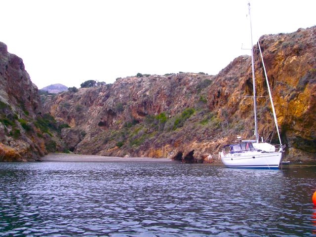
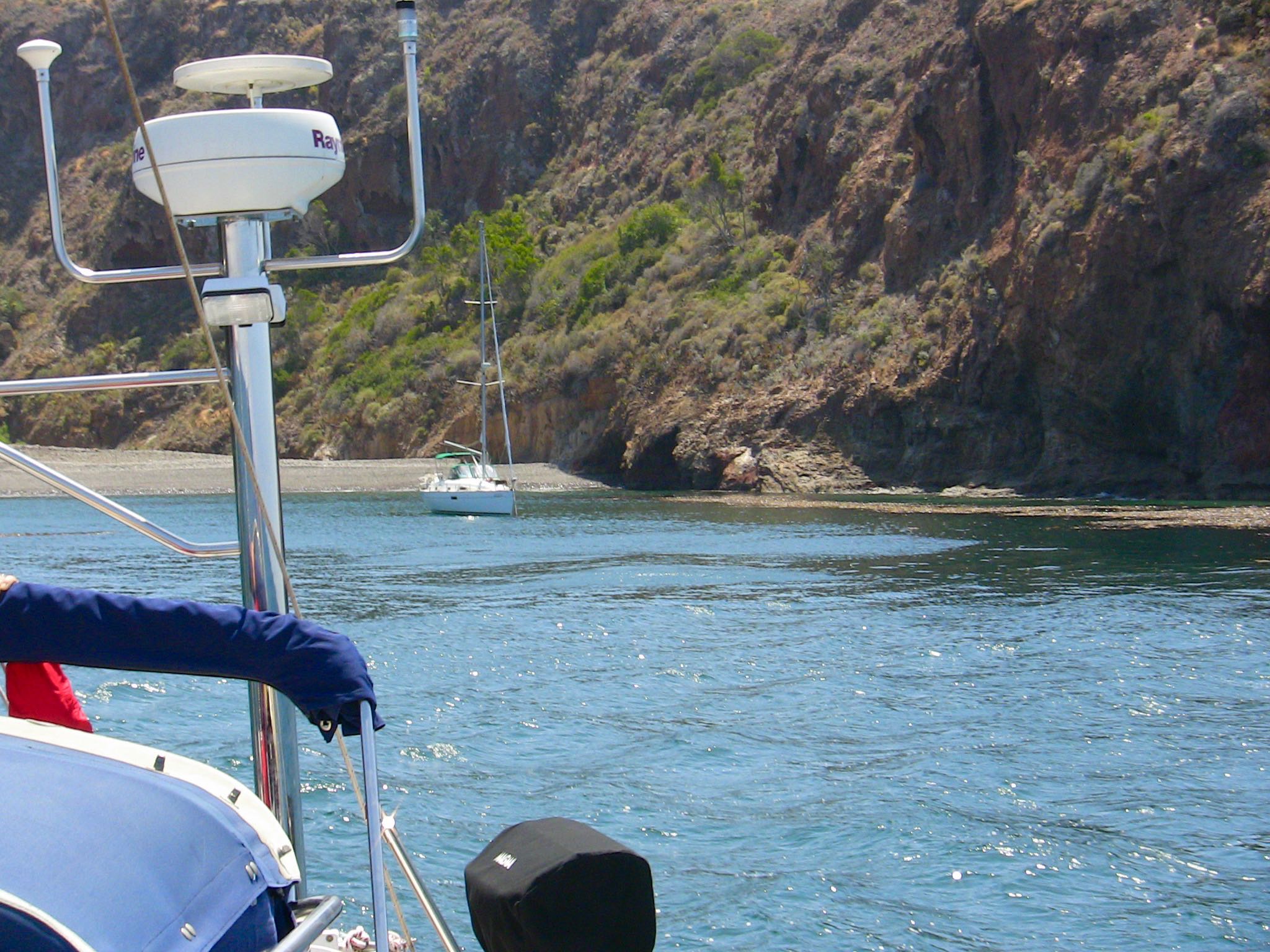
It’s called Twin Harbors and it looks like two, but realistically it’s only the east side that is tenable for an overnight stay. There’s room for one or two yachts, but it’s tight with two. Protection is good from south to west.
Approach
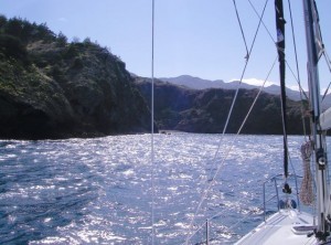
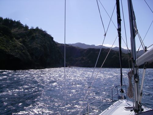
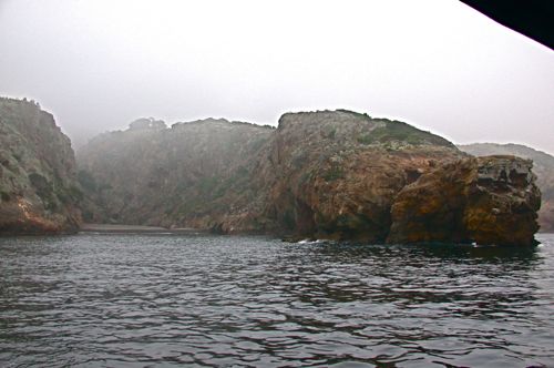
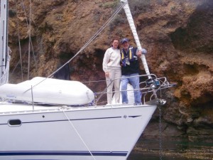
If you’re cruising the north coast going either east or west, you’ll readily spot the arch that marks the end of the protecting peninsula that forms the west wall of the main anchorage. Click thumbnail #6 near the bottom. If you’re heading in there near sunset, it can be hard to see. We cross check the GPS and chart plotter and stand off until we have the spot in sight.
Anchoring
That requires something over 300 ft. of rode on the bow. We set the bow hook, drop the stern hook and start forward, laying out about 150 ft. of stern rode. We set the stern hook and set it hard because this is a spot that can produce some short term canyon winds from the stern.
On calm days, we’ll back in and drop the stern hook (a Fortress) in 15′ and lay out 250′ of rode. We set the stern hook hard and then drive forward to drop the bow. Finally, we ease out the bow rode as we take in the stern until we’re at 100′.
Backing in has become my preferred method, but only in light breezes.
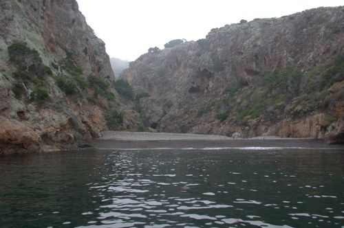
The Twin
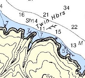 We took a look at the west anchorage in the next morning. It was pretty rough and exposed to swell and there was no place to hide from the prevailing wind. It would be OK for breakfast, but by lunchtime it would be fairly uncomfortable. Certainly not a place I’d plan to spend a night.
Landing Permits Required
If you intend to go ashore, you’ll need a landing permit from the Nature Conservancy.
Updates
If you have new or amplifying information concerning this anchorage or the surrounding area, please contact Capt. Dan.
Photos