| Loc: Southeast coast Santa Cruz | Lat: N34-00.0 | Long: W119-30.4 | Last visit: Nov 09 |
| Tide/Sun/Moon/WX | Dist: 0 | Prisoner’s Harbor, Santa Cruz | WX |
| Chart | 18728 | Santa Cruz Channel | NPS Alerts |
| Skipper: Capt. Dan | Boat: S/V Sancerre | Capt. Dan | Port: Chan Islands |
| Landing Permit | Not Required | permit app | Local Notice to Mariners |
NO PROTECTION

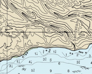
First, Shaw (sometimes Shaw’s) does not even appear on the NOAA chart. It’s on the 1996 Channel Crossings plastic-coated chart.
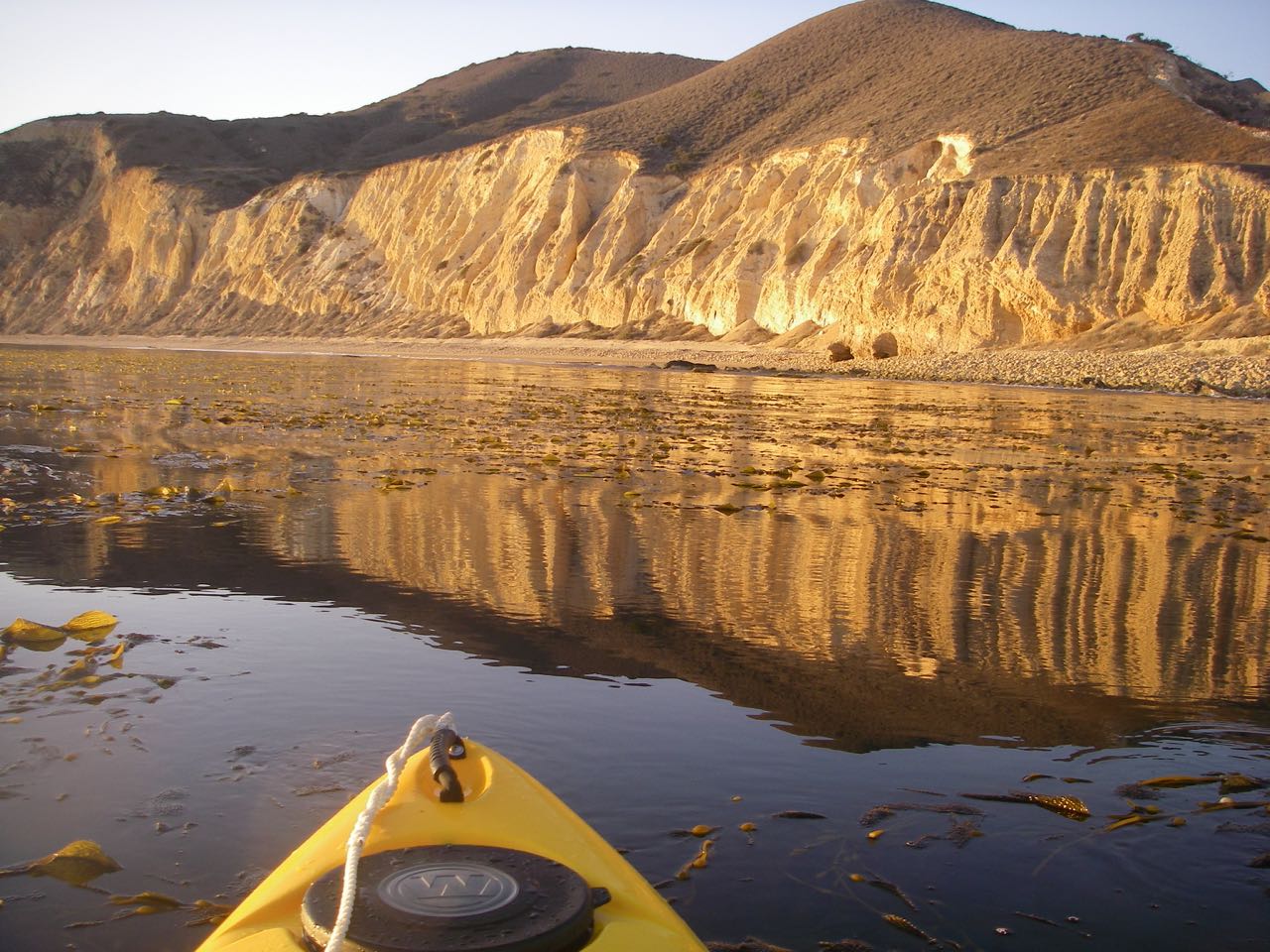
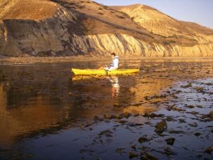
The anchorage, if you can call it that, affords no protection from wind or swell and is particularly untenable in south swells, but on a settled day like the one we picked, it’s a great spot to settle in – particularly near sundown – do some kayaking, take a couple of pictures and then bail out for some place protected. Hint: Yellowbanks/Smugglers is just around the corner.
Finding Shaw
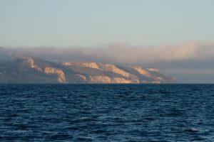
This isn’t much of a trick, especially since it is not a defined anchorage. I think you can call anything between Sandstone point and Marmetta Reef Shaw. It’s more a spot that fishermen work rather than a suitable place to anchor. The plastic chart shows it at the 3/4 fathom point up close to several rocks at datum. We anchored well clear in more than 20 feet.
Approach
Just stay out of the kelp. Or at least go where it is not impassable.
Going Ashore

You need a Nature Conservancy permit, which we have, but it doesn’t look like a great place to start a hike.
Hazards
The aforementioned kelp, and where there is kelp, there are rocks. And the chart denotes a “rky” bottom.
Updates
If you have new or amplifying information concerning this anchorage or the surrounding area, please contact Capt. Dan. His e-mail link and phone are top left.
